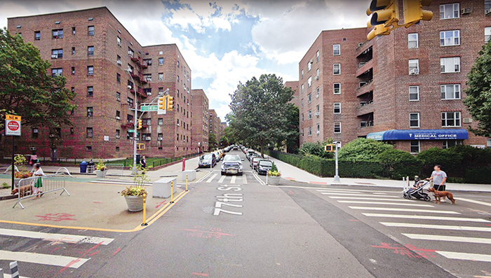
Photo Courtesy of Google
One of the Queens pilot locations is 34th Avenue and 77th Street in Jackson Heights.
By Forum Staff
City Department of Transportation Commissioner Ydanis Rodriguez recently announced that the agency has undertaken an innovative pilot program to use advanced technology to improve street safety by better measuring transportation uses on NYC streets. The pilot, using technology created by Viva, has placed street activity sensors at 12 locations around the five boroughs to collect data and generate detailed reports that will allow planners to better understand the uses of city streets – and inform future street redesigns.
Data collected from a network of new street activity sensors will help NYC DOT better understand how street activity varies throughout the year. The agency will use this data to:
- Analyze the effectiveness and safety of programs and street designs
- Prioritize projects for areas most in need of safety and other street improvements
- Better understand how people are using our streets (i.e. how people access bus stops, use loading zones, visit businesses, or where people prefer to cycle)
Currently, NYC DOT collects much of its traffic counts manually. A staff member either stands on a street or reviews videos of traffic, counting the different modes during a specific timeframe. This process is costly and limited in duration, location, and types of data points collected.
Authorized for installation by NYC DOT, street activity sensors are small devices mounted onto street light poles. The device views the street via a camera, then classifies and counts roadway users in real-time. Video frames from the sensors are deleted nearly instantaneously—and only anonymous features are stored. During the pilot, the devices will:
- Identify up to nine different modes of travel, including pedestrians, bicyclists and standing e-scooters
- Count modes of travel in real-time, and witness travel patterns that change with seasonality
- Represent paths of travel (by mode)
- Measure speed of travel
- Count turning movements
- Detect “near-miss” events between road users
If the street activity sensor pilot is successful, DOT will scale up use of the sensors citywide — in the expectation that sensors will be a key component for the agency in building traffic models that can more accurately forecast the number of people walking and biking along city streets.
Data collected by these devices includes counts of different types of road users, paths of travel, and travel speeds. Counts include: cars, trucks, bicycles, scooters, buses, pedestrians, and more. The data does not include any other identifying information about the roadway’s users.
Viva will also provide street activity count data by analyzing video footage from temporarily installed cameras or existing live feeds. The City of New York owns the data collected by these devices and data sets will be available at the end of the pilot via NYC Open Data.
DOT is installing a total of 12 street activity sensors in a variety of locations around the city. From roads primarily serving vehicles to pedestrian priority areas, the variety of areas will help determine how well the devices work in different types of urban environments.
The Queens pilot locations are:
- 34th Avenue and 77th Street in Jackson Heights
- Broadway and Vietor Avenue in Elmhurst
- 11th Street and 44th Drive in LIC