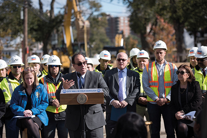
Photo Courtesy of Ed Reed/Mayoral Photography Office
“The City has made major capital improvements in drainage infrastructure during the past seven years and the Stormwater Resiliency Plan will support those ongoing investments to protect residents across all five boroughs,” DEP Commissioner Sapienza said.
By Forum Staff
Mayor Bill de Blasio recently released the City’s Stormwater Resiliency Plan, which includes the City’s first-ever city-wide analysis of flooding caused by extreme rainfall events.
Unlike coastal storms, such as hurricanes and Nor’easters, extreme rainfall can cause flooding in any part of the city, including inland neighborhoods that are miles from the shoreline, Hizzoner noted, characterizing the new plan as “critical to keeping our residents safe and creating a more resilient city.”
The New York City Panel on Climate Change has projected that NYC will become significantly wetter as global warming continues to worsen, with rainfall expected to increase by as much as 25 percent by the end of the century. This will place a growing strain on the city’s drainage infrastructure, which includes a mix of traditional sewer systems, nature-based Bluebelts, and over 10,000 distributed green infrastructure assets that capture and absorb stormwater runoff and have the added benefit of reducing localized flooding.
The Stormwater Resiliency Plan outlines goals and initiatives for the City to implement over a period of 10 years, including new policies for resilient stormwater management, the integration of future-looking climate change projections into DEP’s long-term drainage planning, changes to the City’s flash flood emergency response procedure, and an increased focus on public communications related to rainfall-based flooding. These efforts will help New Yorkers prepare for flooding events, and help the City plan for emergency response and long-term management.
The data from this effort will inform future infrastructure design to optimize drainage in a wetter and more volatile century.
This analysis also resulted in NYC’s first ever maps showing flood vulnerability from rainfall events under future climate conditions. These maps visualize the impacts of a moderate rainfall event with future sea level rise and an extreme rainfall event with future sea level rise.
These new maps build on the City’s existing NYC Flood Hazard Mapper tool, which has been available to the public since 2017. This tool depicts coastal flood hazards, including storm surge from coastal storms and regular, “sunny day” flooding that occurs at high tide. In the coming years, the City will work to integrate these mapping tools and conduct additional modeling to understand the threat of compound events that involve the complex, simultaneous interactions of storm surge, sea level rise, and intense rainfall.
Neither the new stormwater maps nor the existing coastal flood maps will have an impact on flood insurance rates. National Flood Insurance Program premiums are set by the Federal government using FEMA’s 2007 Flood Insurance Rate Maps.
“Centuries of environmental neglect have caused our climate to change and in order to continue to adapt to this new reality we must first understand our vulnerabilities,” said City Department of Environmental Protection Commissioner Vincent Sapienza, a Howard Beach resident. “The City has made major capital improvements in drainage infrastructure during the past seven years and the Stormwater Resiliency Plan will support those ongoing investments to protect residents across all five boroughs.”