Courtesy of DCP
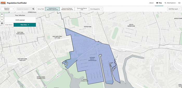
Visit popfactfinder.planning.nyc.gov for a comprehensive look at every neighborhood in the five boroughs.
By Forum Staff
Department of City Planning Director Anita Laremont announced on Thursday the re-launch of Population FactFinder with details on the 8.8 million New Yorkers counted in the 2020 Census.
The online tool provides a simple way for the public to research and understand the diversity of neighborhoods across New York City.
The site provides a comprehensive look at the city’s population, including details about New York City neighborhoods such as age, race/Hispanic origin, and housing. Population FactFinder makes comparisons between 2010 and 2020 Censuses possible, showing change over time in an easy-to-read format. This distinguishes it from other demographic tools. Beyond new 2020 census blocks, census tracts, and Neighborhood Tabulation Areas, the tool now allows users to examine census data by Community District.

Photo Courtesy of the American Planning Association
“DCP’s Population FactFinder makes the data, about who lives in our neighborhoods and the city as a whole, easily available to all of us as we plan for a more equitable city and a full recovery,” DCP Director Laremont said.
Population FactFinder incorporates an array of socioeconomic data from the American Community Survey, now updated to 2020 Census geographies. It incorporates a new geography, called Community District Tabulation Areas, which closely matches Community District boundaries. This feature provides users with socioeconomic data that are otherwise unavailable at the Community District level. Read more about the updated geographies here.
With this update, every topic and map selection has its own unique URL, making it easy to save and share research with others. For example, the increase in Long Island City’s population can be shared with friends and colleagues directly.
This digital platform is one of many DCP has produced over the past several years as part of its commitment toward increased accessibility and transparency for the public through well-designed, open source, web-based tools.
“The 2020 Census showed us that New York City is more populous and more diverse than ever, and DCP’s Population FactFinder makes the data, about who lives in our neighborhoods and the city as a whole, easily available to all of us as we plan for a more equitable city and a full recovery,” Laremont said.